

25 February 2022.
AgForce is working to help producers affected by floods with the creation of a new survey to track the damage across infrastructure.
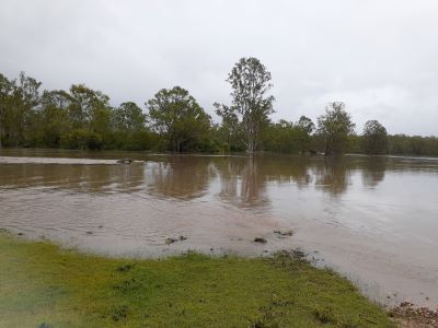
Our GIS crowdsourcing map allows producers in the Wide Bay/Burnett and Somerset regions to record public road issues and/or erosion and dam issues, following heavy rainfall and the devastation caused by ex-tropical cyclone Seth.
The information collected will be made available to state and local governments to assist with planning road repair and upgrades, and to report erosion and dam issues to the respective Natural Resource Management (NRM) group.
It follows the success of our online map for producers affected by the floods in the Wide Bay and Somerset regions, which seeks to assess damage to property and livestock/crops to direct support to the right areas.
We have so far received more than 200 responses to this survey, with more coming in.
The survey is still open, together with our Damage Impact Survey, created following the December 2021 floods over central, southern and western Queensland.
Please also be aware that extraordinary disaster assistance recovery grants of up to $50,000, as well as low-interest loans of up to $250,000, are now available for eligible primary producers in the Somerset region as a result of the December 2021 floods.
The financial assistance is being jointly funded by the Federal and Queensland Governments under the Disaster Recovery Funding Arrangements (DRFA).
We wish everyone affected by flooding a speedy recovery, and a safe and prosperous 2022.
Anyone needing advice or assistance from AgForce should check out our Natural Disaster Contact List or email agforce@agforceqld.org.au.